Home > Organization >
Engineering Department
The Engineering Department is headed by the Principal Engineer of Engineering. Like the Principal Engineer of Operations, the Principal Engineer of Engineering also provides technical and policy advice to the U.S. Commissioner. The Engineering Department provides engineering and environmental support for all USIWBC operations, and administers the engineering services, environmental management, and geographic information system functions. The Engineering Department conducts and reviews environmental impact studies, water quality monitoring, hydraulic studies, geotechnical investigations, and develops design plans and specifications for construction and renovation of buildings, hydraulic and flood control structures, hydroelectric power plant infrastructure, and wastewater treatment plant infrastructure. In addition the Engineering Department is responsible for coordination with Mexican Section personnel on proposed projects which are affected by the stipulations of the 1970 Boundary Treaty.
Engineering Services Division
The Engineering Department designs and develops plans and specifications for construction and renovation of buildings, hydraulic structures, and wastewater treatment plant infrastructure and conducts hydraulic studies, including developing HEC-RAS and HEC-HMS computer models for IBWC projects such as the Canalization, Rectification and Lower Rio Grande Valley Flood Control Projects. The Engineering Services Division (ESD) provides license and permit review for projects that may invoke the 1970 Boundary Treaty; and acts as point of contact on these projects with the Mexican Section. ESD is responsible for graphic support services and maintains the official record drawings for IBWC projects.
- Rio Grande Levee Integrity Study. ESD has been an active participant in planning condition surveys for USIBWC levees, pursuant to flood control project upgrades. This work is being performed by the U.S. Army Corps of Engineers, Engineer Research and Development Center in Vicksburg, MS and employs the use of LiDAR. The initial condition assessment studies were completed in June of 2004. With the results of these assessments and with the new LRGFCP hydraulic model information completed in 2003, the U.S. Section has developed a work plan for levee improvements in the LRGFCP. The US Section, in cooperation with the City of Hidalgo, TX has raised the USIBWC levee along the City’s new Hike and Bike Trail, completed in 2006. Construction of Phase I of the Hidalgo Levee Rehab Project is tentatively scheduled for FY 08. Design of Phase 2 of the Hidalgo Levee Project is ongoing.
- Hydraulic Studies. ESD has completed hydraulic studies for the Rio Grande at Presidio - Ojinaga, Del Rio-Ciudad Acuna, Laredo-Nuevo Laredo, Eagle Pass-Piedras Negras, and the Lower Rio Grande Valley, and is currently contracting for updating and validating the LRGFCP hydraulic model, scheduled for completion in 2007. The Corps of Engineers has extended the Upper Rio Grande Water Operations Model from Caballo Dam to American Dam in El Paso using a two dimensional hydraulic model (FLO2D) and current LiDAR data, completed in 2006, and is working on a further extension of the model to Fort Quitman, TX, scheduled for completion in 2007.
- Rectification Levee Raising Project - FEMA decertification of USIBWC levees in El Paso County, TX, in February 2006 has resulted in public and local government pressure to upgrade the levees to FEMA criteria. The USIBWC plans on raising approximately 8 miles of USIBWC levees, within a 15 mile reach between International Dam and Riverside Dam in the Rectification Project within El Paso County to meet the minimum 3 feet of freeboard criteria. This will enable USIBWC to partially certify this reach before the end of calendar year 2007. ESD has prepared an updated hydraulic model and is working on developing the design drawings for this critical and essential project.
Existing and potential contractors can download our work requirements and other resources here.
Environmental Management Division
The Environmental Management Division (EMD) is composed of a team of multidisciplinary professionals with backgrounds in Biological Sciences, Environmental Science, Geography, and Environmental Engineering. EMD is responsible for addressing environmental compliance throughout USIBWC project areas along the U.S. and Mexico border.
Reports and studies - Through the review and development of environmental documents and proposed activities, EMD staff provide support and coordination to agency personnel, stakeholders, regulators and project proponents. Environmental reports have been prepared to comply with the National Environmental Policy Act (NEPA) and applicable environmental laws and regulations.
Rio Grande Canalization EIS webpage
South Bay Ocean Outfall and New River Water Quality Monitoring
The Texas Clean Rivers Program
In 1991, the Texas Legislature passed the Texas Clean Rivers Act (Senate Bill 818) in response to growing concerns that water resource issues were not being pursued in an integrated, systematic manner. The act requires that ongoing water quality assessments be conducted for each river basin in Texas, an approach that integrates water quality and water quantity issues within a river basin, or watershed. The Clean Rivers Program (CRP) legislation mandates that "each river authority (or local governing entity) shall submit quality-assured data collected in the river basin to the commission."
Construction Management Division
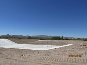
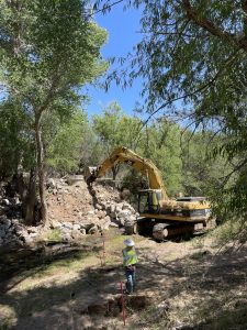
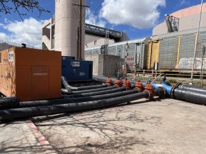
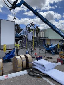
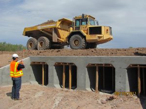
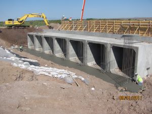
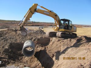
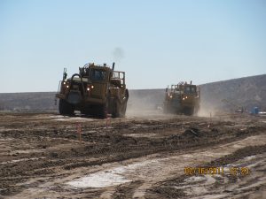
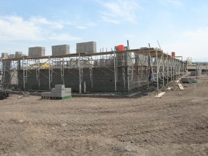
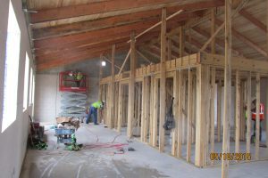
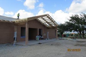
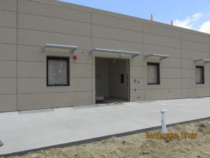
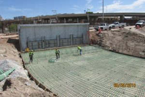
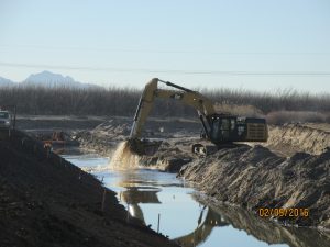
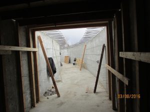
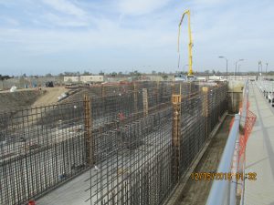
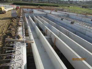
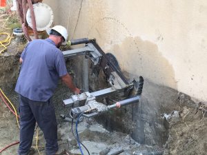
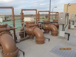
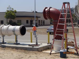
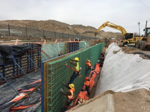
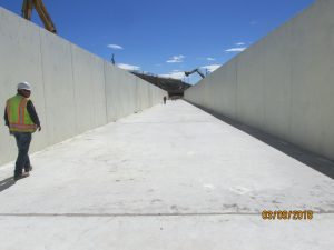
The Construction Management Division (COND) provides high quality construction management and technical expertise in support of USIBWC projects. We plan, coordinate, budget, and supervise USIBWC construction projects from start to finish. COND also coordinates construction of other entities that build on USIBWC property or cross the US-Mexico border.
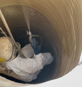
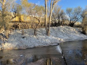
We provide the leadership, management, and supervision necessary to produce world class facilities supporting IBWC's mission. Our capabilities extend across a broad spectrum of projects and include expertise in levees, canals, dams, buildings, environmental restoration, and wastewater treatment plants. COND oversees projects from San Diego, CA to Brownsville, TX.
Upcoming USIBWC construction projects can be found at sam.gov.
Existing and potential contractors can download our forms and other resources here.
If you have noticed issues, have concerns, or simply want to tell us that we're doing a good job on a USIBWC construction project, please fill out the comment form located here.

